Catchment-Based Workstream Catchment Action Plan (CAP)
What is a Catchment Action Plan?
Every river is part of a system of tributaries, brooks and feeder streams. Rainwater reaches the river by flowing over or through the surrounding landscape. So what happens in the landscape directly affects the river, its ecology and the habitat in its catchment. That’s why an action plan has to be carried out on a catchment-wide scale and not just a piecemeal or opportunistic approach. We need to focus our actions on issues which have been identified as having the most critical impacts on the river then work out the best way to mitigate them and set priorities. It is a lengthy process but produces a very coordinated approach.
How is WATER qualified to undertake a Catchment Action Plan?
CAPs are typically undertaken by specialist consultants which are, unsurprisingly, expensive and in these cash-strapped times CAP funding for smaller rivers, like the Erme, is in short supply. It is unusual (possibly unique) for a volunteer organisation to undertake one.
However, WATER is extremely fortunate to have within its volunteer CAP team people with specialist skills, knowledge and qualifications that include: a professional landscape architect, highly qualified specialists in a range of complimentary environmental sciences, a GIS data (Geographic Information System) expert plus an experienced farmer and land manager. These combined skills have been recognised by the Environment Agency. They have supported our work and introduced us the acknowledged experts in this field, the Rivers Restoration Centre, who have guided our team in a series of online workshops.
Where do you start?
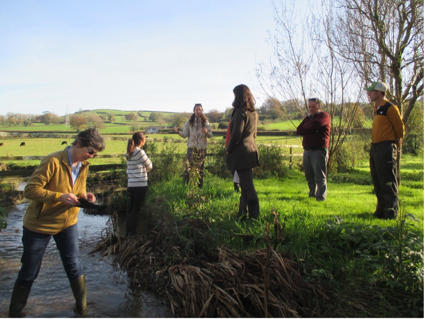
Finding the solutions to problems begins with understanding the facts and that’s exactly WATER’s approach to developing a Catchment Action Plan for the Erme.
We first need to first establish baseline data on the nature and state of the river in it’s many different sections or reaches. This takes the form of an assessment of the multiple characteristics across its catchment such as: geomorphology, ecology, human pressures, historic activity, agricultural and land management practices. Assessments are carried out on a reach-by-reach basis. We have identified over 50 significant reaches in the Erme’s catchment.
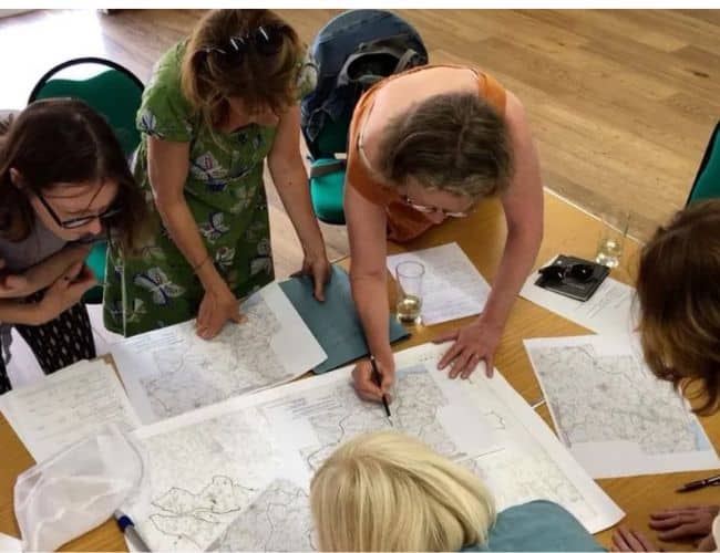
How the plan develops
From these catchment-wide assessments, pressures and impacts on the river can be identified enabling priorities to be established, options evaluated and considered against available resources.
Rivers can be restored to natural health but it needs a holistic and joined up approach, so that each action builds on the next as part of a wider process of continual, interconnected improvement.
How you can help
There are many ways you can help us protect and restore water quality and habitat in the beautiful river Erme. To find out how, just click SUPPORT US